
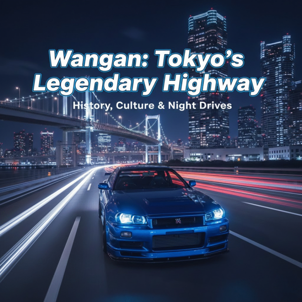
Introduction
In recent years, videos titled “Tokyo highway night drive” or “Wangan night drive” have been spreading rapidly across YouTube, TikTok, and other global social platforms. Footage of the Shuto Expressway, glowing in the night with neon-lit skyscrapers, massive bridges stretching over the Tokyo Bay area, and endless streams of headlights, has gained worldwide attention. These scenes—resembling moments from a movie or racing game—capture the imagination of viewers regardless of language or cultural background.
A major reason for this global fascination lies in Japan’s distinctive automotive scene: JDM cars, JDM culture, custom tuning, iconic Japanese sports cars like the Skyline GT-R, Supra, RX-7, Silvia, and Fairlady Z, as well as the unique atmosphere of Tokyo’s nightscape.
Within this context, the Wangan Route (Bayshore Route) has grown to become far more than a highway. It has become a cultural stage, a symbol of Japanese car culture, and one of the most visually compelling driving routes in the world.
This article presents a complete guide to the Wangan Route from multiple perspectives: its history, its role as a transportation artery, the rise of street-racing culture, the beauty of its night views, and its appearance in Japanese anime such as Wangan Midnight. Whether you’ve only heard the name “Wangan Route” before or are considering driving it yourself, this guide will help you understand the stories, culture, and scenery behind this iconic stretch of road.
What Exactly Is the Wangan Route?
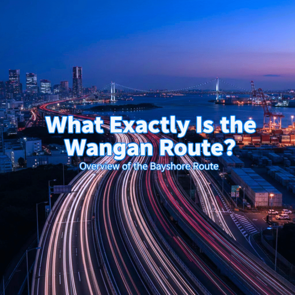
Overview of the Bayshore Route
When people mention the Wangan Route (also known as the Bayshore Route), they are referring to a major section of the Shuto Expressway that runs along the coastline of Tokyo Bay.
It begins around Kanazawa in Yokohama (in Kanagawa Prefecture) and extends all the way to Koya Junction in Ichikawa (Chiba Prefecture). Covering roughly 62 kilometers, it forms a sweeping arc that links Kanagawa → Tokyo → Chiba across the bay.
Several sections have 6 to 8 lanes, making the Wangan Route one of the wider and more stable driving routes within the Shuto Expressway system. This layout contributes to its reputation as a smooth, high-speed urban expressway admired by drivers worldwide.
Part of a Larger Bay-Area Road Network
The Bayshore Route forms part of a broader network of roads along the Tokyo Bay area, including National Route 357 and other coastal expressways.
This region is densely populated with container ports, logistics hubs, warehouses, industrial zones, and waterfront urban developments. As a result, the Wangan Route plays a critical role in connecting these facilities to inland areas, supporting both commercial logistics and everyday transportation.
In short, the Wangan Route is not just a highway—it is a core arterial road that binds together industry, logistics, urban centers, and daily life across the greater Tokyo region.
History of the Wangan Route – Why and How It Was Built
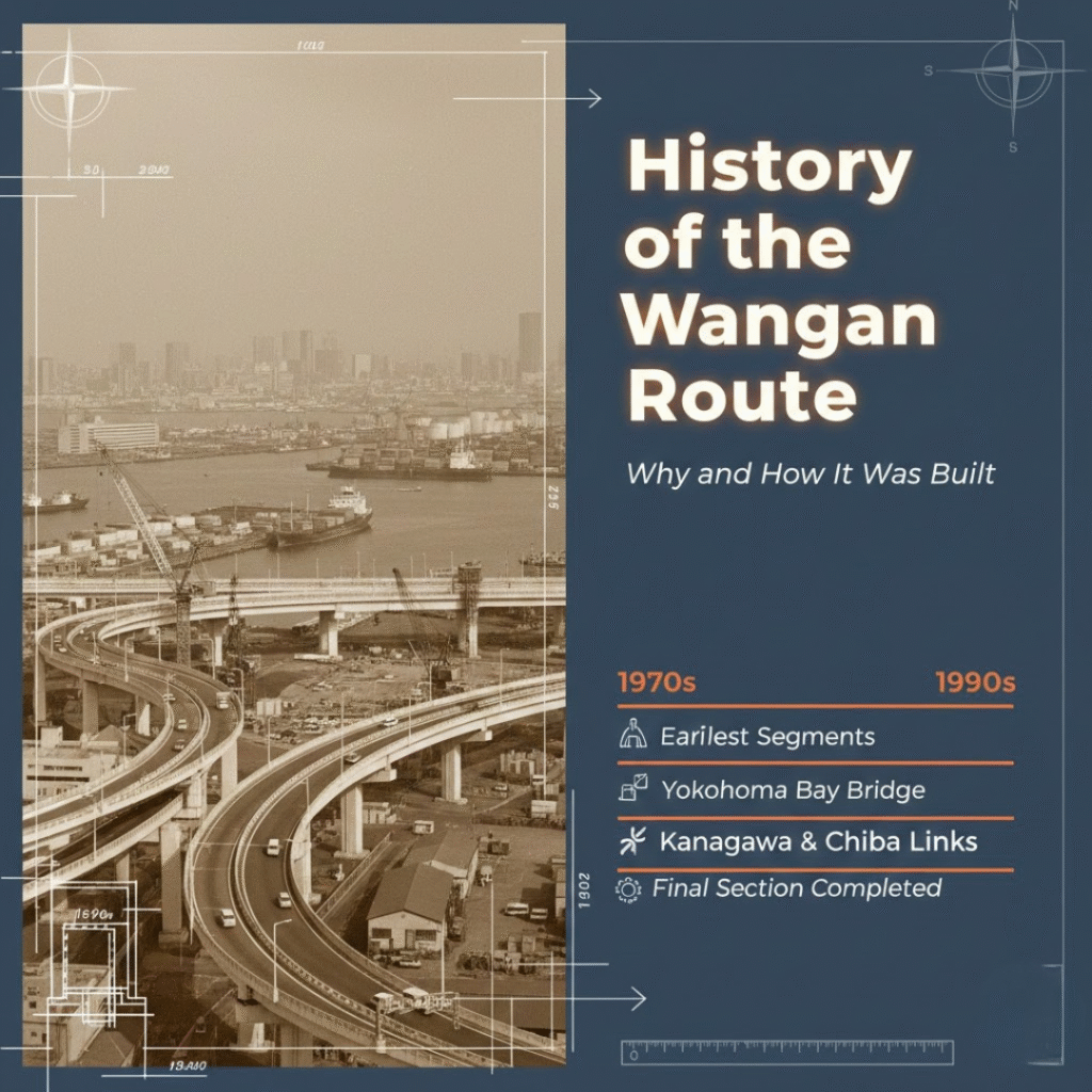
The Background Behind Its Construction
During Japan’s high-economic-growth era, the Tokyo Bay area experienced rapid industrial expansion. New logistics terminals, ports, warehouses, and industrial zones were developed one after another. As freight traffic grew, the volume of trucks and cargo vehicles overwhelmed existing roads, causing congestion and environmental concerns along local routes.
To address these issues and link port areas → city centers → suburban regions more efficiently, planners proposed a coastal expressway that could serve as a fast, safe, and direct route. This vision laid the foundation for what would become the Wangan Route.
Development Timeline
The construction of the Bayshore Route did not happen all at once. Instead, the highway evolved over nearly 30 years:
- 1970s: The earliest segments near Tokyo’s port area were opened.
- 1980s: Expansion accelerated, including the development of the Yokohama Bay Bridge and waterfront districts.
- 1990s: Segments in Kanagawa and Chiba were connected, increasing the route’s east-west continuity.
- 2001: The final missing section was completed, forming the modern 62 km continuous Wangan Route.
Through these decades of development, the highway became a vital component of the broader Shuto Expressway system.
Why the Wangan Route Is Essential – Connecting Ports, Cities, and Logistics
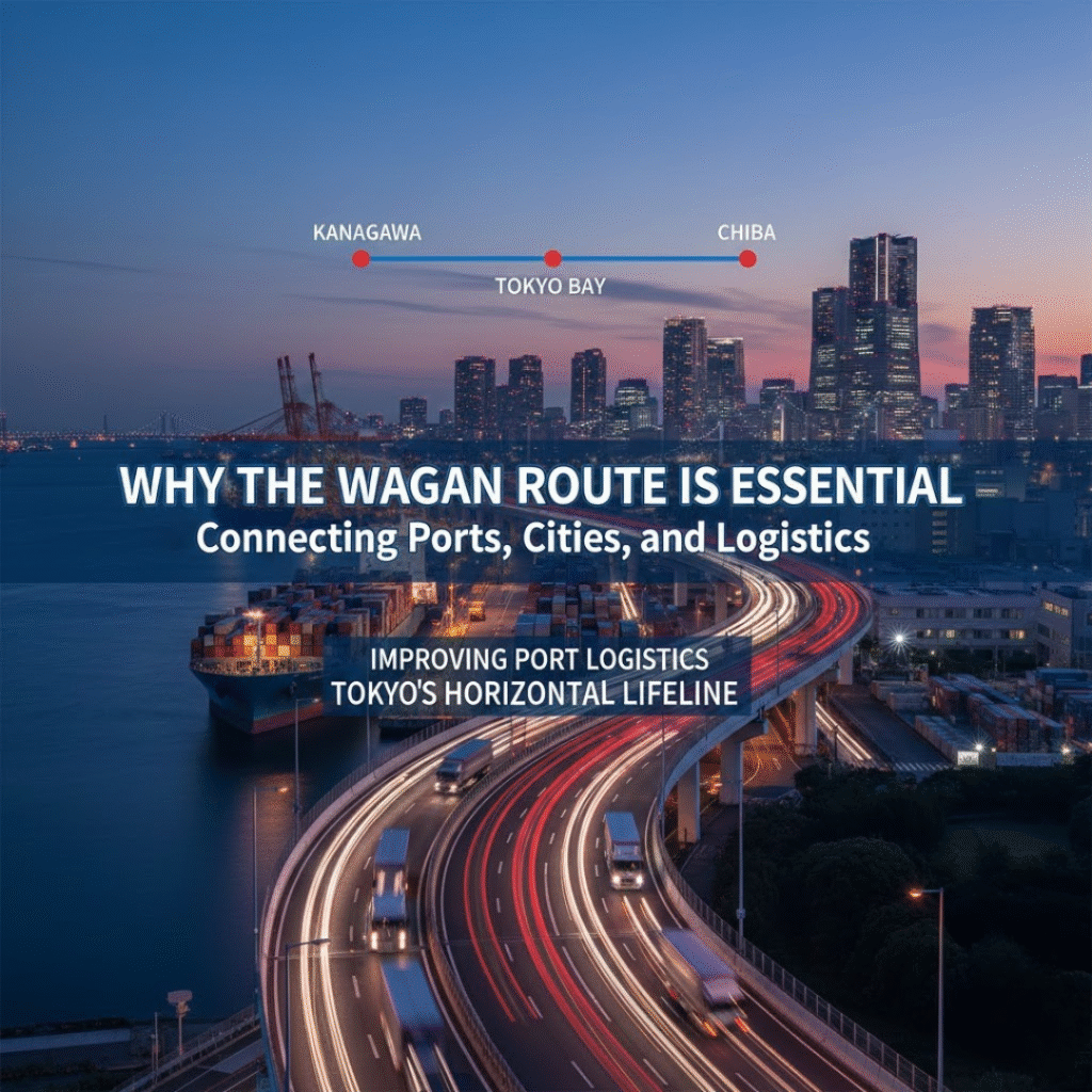
Improving Port Logistics
The Tokyo Bay region is one of Japan’s most important logistics hubs. Massive volumes of cargo move through its ports each day. The Wangan Route was designed to help large cargo trucks travel directly between port facilities and major urban zones without passing through residential streets.
By doing this, the Bayshore Route has significantly improved:
- Logistics speed and reliability
- Safety for both local residents and truck drivers
- Environmental impact along coastal communities
The “Horizontal Line” of the Tokyo Metropolitan Road Network
Most major expressways in the Tokyo region extend outward from the city center in a radial pattern. By contrast, the Wangan Route forms a horizontal, coastal axis, linking:
- Kanagawa (Yokohama and Kawasaki)
- Tokyo Bay waterfront districts
- Chiba (Urayasu, Ichikawa, Makuhari, and beyond)
This cross-bay connection supports commerce, commuting, tourism, and urban development, making the Wangan Route a linchpin in the region’s transportation system.
The Wangan Route and Street-Racing Culture
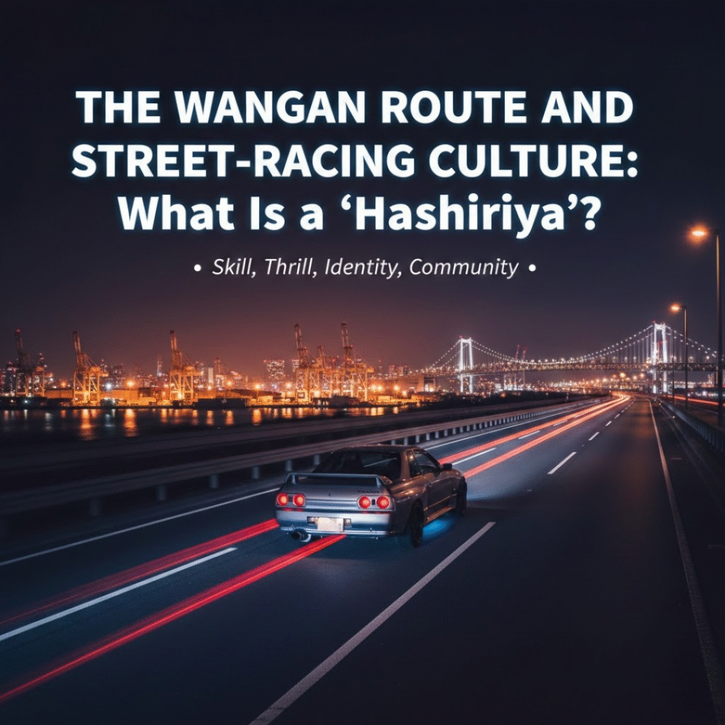
What Is a “Hashiriya”?
In the 1980s and 1990s, groups of young Japanese drivers known as “hashiriya” emerged. These drivers modified high-performance JDM cars such as the Skyline GT-R, Supra, RX-7, Silvia, and Fairlady Z, pushing them to extreme limits on highways and mountain passes.
To these enthusiasts, cars represented:
- Skill
- Thrill
- Identity
- Community
Why the Wangan Route Became a Symbolic Stage
Several factors made the Wangan Route especially attractive to street racers:
- Wide and straight lanes ideal for high-speed stability
- Low traffic volumes at night, especially along port-side segments
- Dramatic nighttime scenery, including ocean bridges, industrial complexes, and port lighting that created a surreal, cinematic atmosphere
Because of this, the Wangan Route became associated with maximum-speed challenges, JDM tuning culture, and urban street-racing legend.
The Wangan Route in Japanese Pop Culture – Wangan Midnight
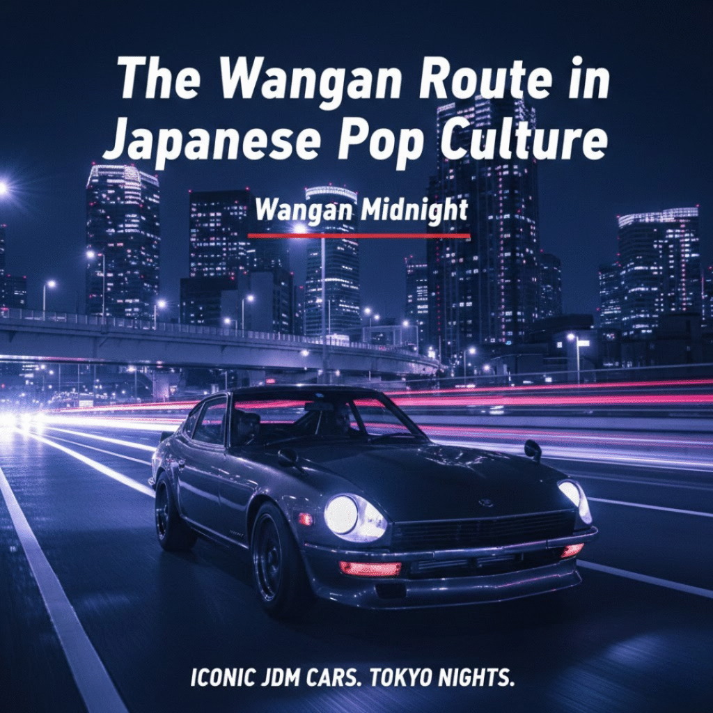
What Is Wangan Midnight?
The manga Wangan Midnight, created by Michiharu Kusunoki, is one of the most iconic works set on the Wangan Route and the Shuto Expressway.
The story centers on the legendary Fairlady Z S30, known as the “Devil Z”, and features numerous clashes with rival JDM cars such as the Skyline GT-R.
The series was adapted into a TV anime (2007–2008), which vividly portrayed high-speed battles, the atmosphere of the Bayshore Route, and the emotional connection between drivers and their machines.
Why It’s Popular Overseas
The reason Wangan Midnight resonates with global audiences is clear:
- It features real Japanese highways, including the Wangan Route and C1 Route
- It showcases iconic JDM cars such as the GT-R, RX-7, Supra, Silvia, and Fairlady Z
- It captures the neon-lit aesthetic of Tokyo’s nightscape
- It blends real-world infrastructure with stylized drama
This combination makes the Wangan Route not just a location, but a cultural icon recognized worldwide.
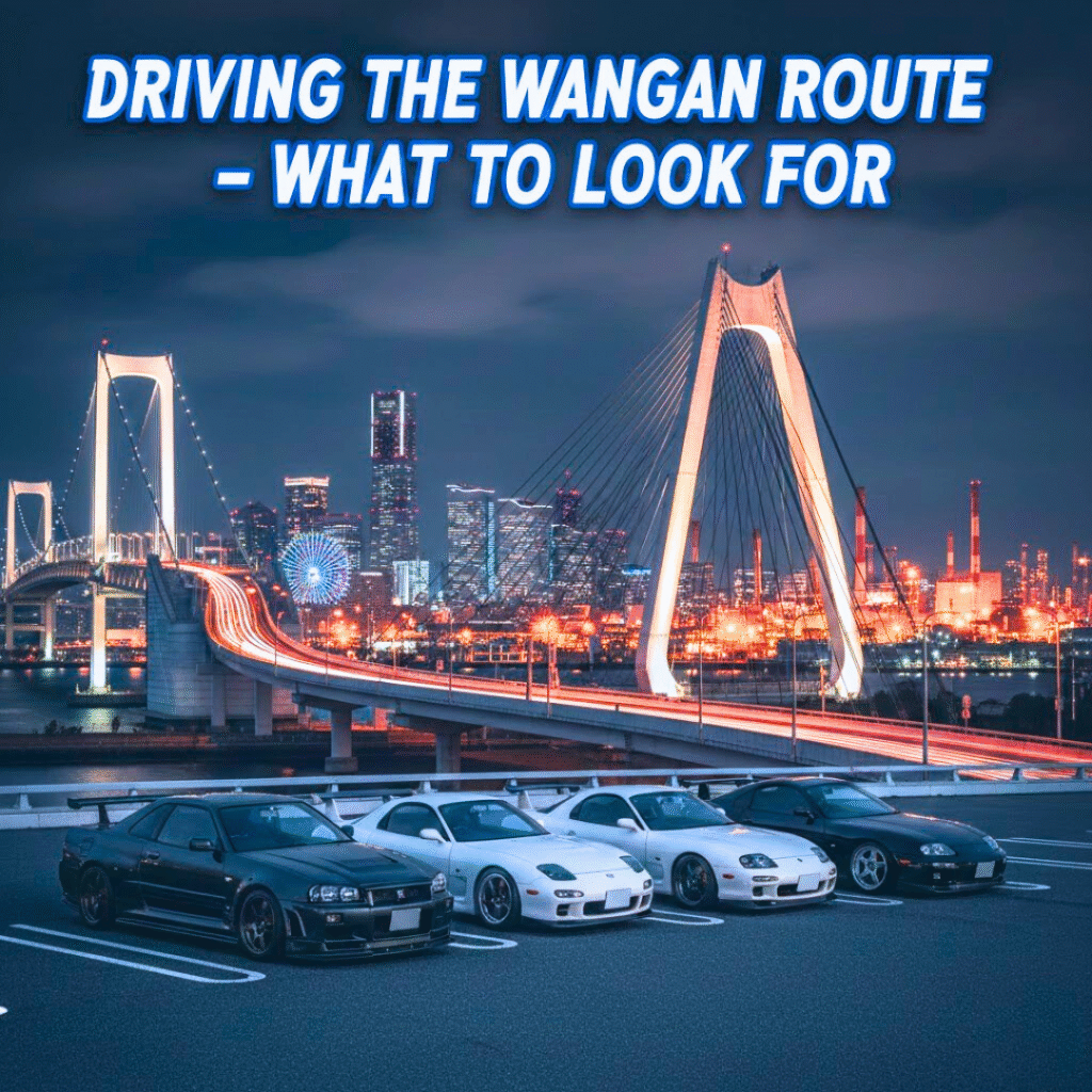
Driving the Wangan Route – What to Look For
Yokohama Bay Bridge – A Symbol of Port City Beauty
The Yokohama Bay Bridge is one of the most iconic structures along the Wangan Route.
During the day, the bridge’s white towers and sweeping lines present a stunning structural beauty.
At night, illuminated by soft lighting and backed by the Minato Mirai skyline, it becomes a spectacular representation of Japan’s port-city atmosphere.
Tsurumi Tsubasa Bridge and Industrial Night Views
As you head toward Tokyo, you’ll cross the Tsurumi Tsubasa Bridge, surrounded by steel plants, logistics warehouses, and massive cranes.
At night, the area glows with the lights of factories and industrial facilities, creating a powerful industrial nightscape that appeals to photographers and night-drive enthusiasts.
Daikoku Parking Area – A Holy Spot for JDM Lovers
The Daikoku Parking Area (Daikoku PA) is legendary among car enthusiasts.
It has long been a gathering place for fans of JDM cars, including GT-R, RX-7, Silvia, Supra, and many others. Even today, you can find beautifully tuned cars lined up under the glow of the Yokohama Bay Bridge.
For anyone exploring JDM culture, Daikoku PA is an essential stop.
Best Time and Safety Tips
The most beautiful night views can be seen late at night or just before dawn when traffic on the Bayshore Route is minimal.
However, visibility can change due to wind, lighting, or bridge structure, so drivers should always prioritize safety and maintain reasonable speeds.
Summary – The Wangan Route Is More Than Just a Road
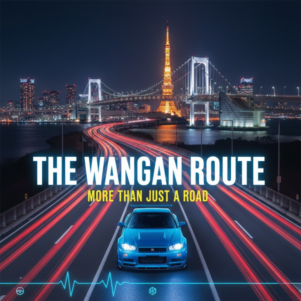
The Wangan Route (Bayshore Route) holds multiple identities:
- A key connection between ports, cities, and logistics
- A historic stage for street-racing culture and JDM cars
- A spectacular night-drive route with panoramic views
- A symbolic setting in anime, manga, and worldwide fan communities
- A gateway to Japanese urban car culture alongside the C1 Route
If you have the chance to visit Tokyo, try driving along the Wangan Route—whether from the driver’s seat or the passenger’s seat.
Feel the sea breeze, watch the lights reflecting on the bay, glide across illuminated bridges, and absorb the atmosphere that countless car lovers around the world have fallen in love with.
Beyond the map, beyond the pavement, the Wangan Route is a living landscape shaped by history, culture, cars, and imagination.